
I. Our class google map:

A. Use our class google map to add a marker to your home city.
B. With a group, use the google map to find a some locations to travel to . Use the "directions" feature to get an estimate on the distance from Eugene and the travel time. (note: must be in the North America or Central America)
Example: Yucatan, Mexico
Distance: 3,546 miles (5,076 km)
Travel time: 2 days, 14 hours
You will use a web service to estimate the cost of travel form Eugene to your desired location.
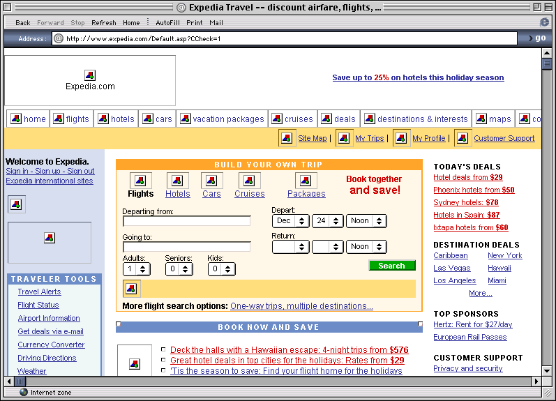
Some popular services include:
Some alternativs to the "big ones"
Vocabulary to know:
- round trip
- one way
- departing
- returning
- arriving
- nonstop
- duration
Search for a flight leaving Jan 16 and returning Jan 23, 2012.
Questions to find out:
Highest and lowest prices of the ticket?
Is it more expensive to leave and return on Friday?
Is it more expensive to leave and return on Wednesday?
Is it more expensive if you leave this week?
How much per night would it be to add a hotel?
No comments:
Post a Comment